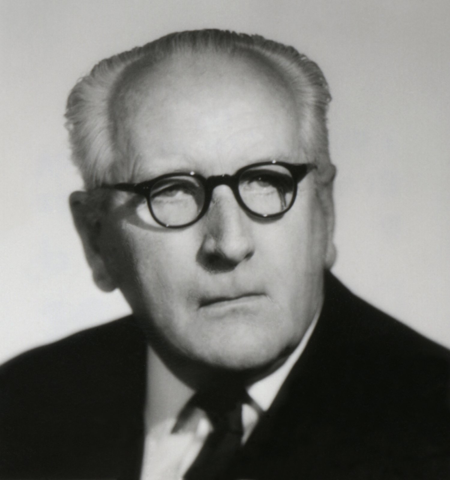
Prof. RNDr. Karel Kuchař
 (*15. 4. 1906 – Praha † 16. 4. 1975 – Praha)
The son of a high school teacher, Karel Kuchar, after studying at a grammar school in Prague, he entered the Faculty of Science at Charles University. He received his doctorate in 1928 on the basis of his thesis Catmetric analysis of some maps from the turn of the 15th - 16th century. In 1929, Karel Kuchař passed the state examination for teaching in secondary schools and began working as an assistant to Bedřich Šalamon at the Geographical Institute of Charles University. In 1935 Kuchař habilitated (with his thesis Lakes of Eastern Slovakia and Subcarpathian Rus) as the youngest associate professor of the Faculty of Science of Charles University. In 1936, he travelled to Albania, where he studied mainly lakes (Skadar, Ohrid and Prespa). After the closure of the universities by the Nazis in 1939, Kuchař began working first at the State Observatory and then, from 1942, at the State Institute of Geophysics, whose director was Bedřich Šalamon. After 1945, Kuchař began lecturing again at the Faculty of Science of Charles University, where he served as head of the Department of Physical Geography and Cartography from 1956-73. His students later became a number of capable geographers and cartographers (Olga Kudrnovská, Ludvík Mucha, Richard Čapek, Bohumír Janský...) During his time at Charles University, Karel Kuchař led the State Map Collection (today's Map Collection of Charles University), which he managed to build into a leading workplace in the field. In 1973, Kuchař left the university for the Cabinet for Cartography of the Geographical Institute of the Czechoslovak Academy of Sciences, but he continued to lecture at the Faculty of Science until his death. Although he was originally involved in physical geography, cartography dominated his work. He studied, for example, the problem of distortion on maps and was also involved in globography. He also succeeded, for example, in constructing the affinograph (an instrument for constructing block diagrams). His best-known works include: work on the Monumenta cartographica Bohemiae edition, the creation of several maps for the Atlas of the Czechoslovak Republic (1935 / since then he worked in the author's teams of most atlases that were created in this country during his lifetime), the textbook Chapters from the Science of Maps (1943), Our Maps from Long Ago to Today (1958), The Development of Map Representation of the Territory of the Czechoslovak Republic I. Maps of the Czech lands up to the middle of the 18th century (1959), Map Collection B. P. Moll in the University Library in Brno (1959) or Register of Old Globes in Czechoslovakia (1964).
Sources:
MARTÍNEK, Jiří. Geographers in the Czech Lands 1800-1945: (biographical dictionary). Prague: Historical Institute, 2008, 245 p. ISBN 978-80-7286-133-0.
MARTÍNEK, Jiří and MARTÍNEK, Miloslav. Who was who. 1st ed. Prague: Libri, 1998, 509 p. ISBN 80-85983-50-8.
MUCHA, Ludvík. The Life and Work of Professor Karel Kuchar. Acta universtitatis carolinae geographica. 1976, vol. 11, pp. 9-26.