The Department of Applied Geoinformatics and Cartography is active in basic and applied research on various topics, such as collection, processing, analysis, visualization and distribution of geoinformation data, geographic information systems, creation and evaluation of cartographic products, application modelling and many others. One of the main activities is the participation of the Department's scientists in scientific projects and grant competitions.
Scientific orientation
The Department of Applied Geoinformatics and Cartography is an important domestic institution in education and research in the fields of geoinformatics/GIS (including geodatabase systems and modern methods of presentation and distribution of geographic information), cartography and remote sensing (RSI) It is one of the leading Czech and international institutions in education in the field of remote sensing.
In the field of research, the Department, in cooperation with other faculty, non-faculty institutions and foreign institutions, has long been involved in the development and use of geoinformation technologies in many research fields. The main interests are:
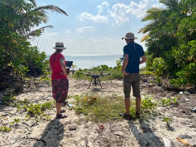
- Data collection using remote sensing methods (especially UAV and laboratory spectroscopy), processing and analysis with specialisation in image and laboratory spectroscopy, airborne laser scanning and digital photogrammetry.
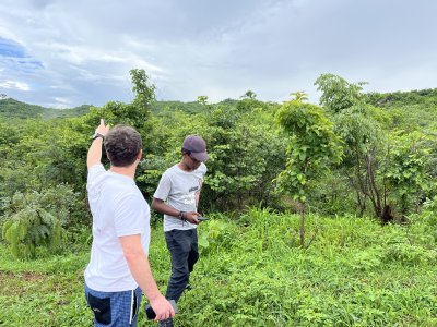
- Application of remote sensing in the areas of landscape change assessment (land cover change), vegetation analysis (forest ecosystems, relict Krkonoše tundra), urban environment development (suburbanization), mapping of rock formations, monitoring of natural disasters and risks (e.g. in connection with climate change), mapping of the surface of solar system objects.
- Thematic, historical, digital and mathematical cartography, the creation and evaluation of cartographic products, interactive cartographic products, cartographic outputs on the Internet, computing geometry in cartography, mapping methodology and the creation of large-scale maps, geodetic calculations and measurements, and the development of software for automated cartographic generalization.
- 2D and 3D visualization of spatial information, creation of spatial landscape models (defuncted landscapes of the Czech Republic) and 3D photorealistic models of landscapes, buildings, interiors and objects (defuncted villages, objects, information systems in buildings, model of the Albertov campus and others).
Other activities of the Department
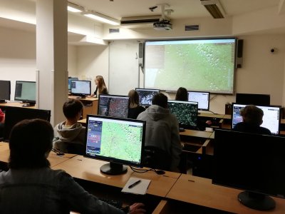
The Department is participating in the teaching of the Bachelor's degree programmes Geography and Cartography and Applied Geography. It provides teaching of the Master's programme in Geoinformatics, Cartography and Remote Sensing and the Doctoral programme in Geoinformatics, Cartography and Remote Sensing. He is a major contributor to the teaching of the Master's degree in Landscape and Society. The aim of the Department's study programmes is to produce graduates who will be able to serve as geoinformatics and cartography experts in government institutions, the private sector and research.
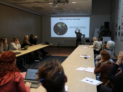
The Department is active in major domestic and international research and education projects, cooperating closely with the European Space Agency (ESA) and the American Space Agency (NASA), for example, in the organisation of international training courses in the field of DPZ (Trans-Atlantic Training - TAT, from 2013 until now) and in some research projects.
Members of the department are actively participating in the work of major international organisations such as EuroSDR (European Society for Spatial Data Research), SCERIN (an international group focused on research on land use change and forest ecosystems in Southern, Central and Eastern Europe), IGU Commission on Land Use Land Cover Change (a commission under the International Geographical Union focused on research on long-term land use change), Eurosite Remote Sensing Support Group for Conservation Practitioners (a group of experts focused on supporting the use of remote sensing in landscape conservation practice).
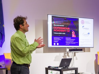
The Department has long been cooperating with some domestic organisations (especially the administrations of the national parks KRNAP, Šumava and Bohemian Switzerland) and is actively involved in international and domestic activities within the Copernicus programme (a remote sensing programme coordinated and managed by the European Union - specifically the European Commission - in cooperation with the European Space Agency).

