Map Collection Web Portal
The Map Collection portal provides a clear summary of all significant projects and activities of the Map Collection.
 |
- metadata catalog
- 65,000 images without watermark
- geographic search
|
 |
- 97 globes in 2D
- 9 globes in 3D
- arbitrary manipulation of 3D models
|
 |
- 4 geomorphological models in 3D
- 29 plastic map in 3D
- 2 plastic atlases in 3D
|
 |
- registers 26 Czech and 21 foreign digitized maps collections
- contains links and web addresses
- brief description of both physical and digital format
|
 |
- more than 68,000 bibliographic records
- more than 105,000 units
- part of the CU central catalog
|
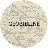 |
- bibliographic database with abstracts
- Bohemian geographical documents from 1450
|
 |
- the life and work of prominent Albertov cartographers
|
| |
 |
1. Professor RNDr. Karel Kuchař
|
| |
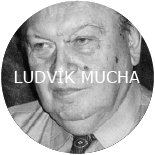 |
2. Associate Professor RNDr. Ludvík Mucha, CSc.
|
| |
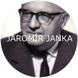 |
3. Associate Professor RNDr. Jaromír Janka, CSc.
|
| |
 |
4. website dedicated to other important figures of the Map Collection
|
 |
- georeferenced maps from the StareMapy.cz project
- available on the Oldmapsonline.org
|
 |
- methodology for processing of cartographic works and making them available
- methodology for cataloguing, digitizing maps, atlases and globes
|
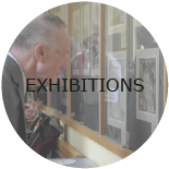 |
- a selection of exhibitions realized in the Geography Library and Map Collection
- digitized posters available in the UK Repository
|
 |
- e-learning course "Old maps - digitization, cataloguing, analysis"
- available in the Moodle system
|
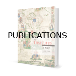 |
- publication activity of the Map Collection
- articles, monographs, lectures, presentations at conferences
|