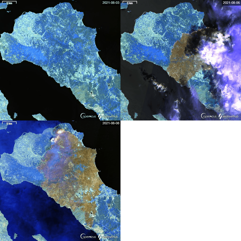
Earth Observation (EO)

  • Advanced classification methods using remote sensing data
  • Time Series
  • Big Data and Cloud computing

Topics

  • Forest disturbance and recovery
  • Phenology
  • Long-term Land Use/Land Cover Change, Driving forces of LUCC, LULUCF


Capacity building and education in GIS and EO

  • Conducting teaching activities: workshops, trainings, summer schools at all level of eductaion (from elementary to university)
  • Creation of educational materials (textbooks, tutorials)
  • Providing expertize for end-users


3D

  • Cultural heritage modelling (linking 3D GIS with history)
  • Data visualisation and rendering
  • Vizualization of the dynamic landscape changes 


Web GIS technologies and maps services

  • Web map applications development
  • Vizualization of landscape changes