


Geography – one of the oldest scientific disciplines – plays a significant role in key contemporary research due to its focus on spatial interactions between society and the environment. These include tracking the consequences of global climate change or population aging, as well as the sustainable development of society in diverse locations and regions, utilizing new technical possibilities like remote sensing and geographic information systems (GIS).
The tradition of the Geography Section at Charles University dates back to 1856 when the first lecturer in this field was appointed. Today, the Geography Section is a large and important institution within the European context, a fact also confirmed by its ranking among the best geographical departments in the world.
Interdisciplinary Character
Researchers in the Geography Section study a wide range of natural and social phenomena and processes, and their mutual interactions that shape the landscape. The integration and collaboration of physical and social geographers, demographers, and geoinformatics experts in a shared workplace enable the connection of specialized analyses into a comprehensive perspective on significant global issues, such as climate change and its consequences like floods, economic globalization, the impact of foreign investments on urban and regional development, and international migration and demographic aging.

Dynamic Growth
Since the early 1990s, the Geography Section has undergone significant development. In 1990, 40 students graduated from three master's programs, and 22 teachers provided instruction. Today, geography offers 10 undergraduate programs, accepting around 200 students annually. In the two-year follow-up master's program, geography offers nine study programs, and in doctoral studies, six programs are available. The Geography Section currently has over 1,000 students and more than 100 staff members, making it one of the largest geography departments in Europe.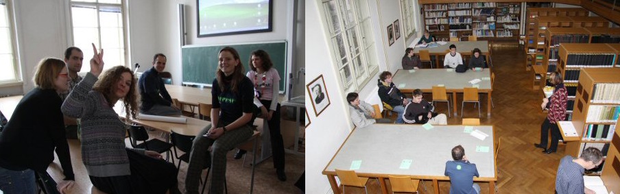
Quality Study Conditions
We emphasize quality, relevance, and the comprehensiveness of the knowledge taught and respond flexibly to the changing demands of the profession. An individualized approach to students is a matter of course. Participants in specialized Olympiads are offered admission without entrance exams. We teach in modern lecture halls and laboratories equipped for geographic information systems, remote sensing, statistical analysis, sediment analysis, and dendrogeomorphological dating. The geographic library and map collection offer an extensive base of specialized literature and a welcoming study environment. Domestic and international excursions and fieldwork are part of the study experience. Students have access to top-notch equipment and software.
A wide range of study abroad opportunities, supported by the ERASMUS program and other projects, allows students to gain expertise, language skills, and cultural knowledge from other countries. The best students participate in research projects, learning how to work in teams, present their work results, and acquire additional practical skills for their professional careers. During the Geography Sports Day at Charles University’s Hostivař campus in Prague, students and teachers compete. The exhibition gallery in the foyer of the geographic library hosts cultural events and social gatherings several times a year.
International Cooperation
We support international mobility for students and faculty and participate in international projects. In both research and teaching, we are partners with leading global institutions. Since 1994, students from Dartmouth College in the USA have been studying in the Department of Social Geography and Regional Development each spring semester. In doctoral studies, dissertations are created under the so-called dual supervision (co-tutelle) in collaboration with partners from France. We collaborate with leading experts from the University of California’s School of Public Health on research into the socio-economic aspects of health. The Department of Demography and Geodemography is part of the international network Population Europe: The European Population Partnership, which includes over 40 prestigious European demographic institutions. The establishment of a receiving station for ENVISAT satellite data and the organization of courses with leading European experts in the field of remote sensing are examples of the developing cooperation between the Department of Applied Geoinformatics and Cartography and the European Space Agency (ESA). The research team in geomorphology and geodynamics from the Department of Physical Geography and Geoecology was awarded World Centre of Excellence status for the period 2008-2011 for its research on landslides. This team collaborates on topics related to natural hazards and the consequences of climate change with colleagues at universities in Oxford and Cambridge in the UK. We work in international professional organizations (e.g., IGU – International Geographical Union, ICL – International Consortium on Landslides, IALE – International Association of Landscape Ecology) and serve on editorial boards of renowned journals (e.g., Geografiska Annaler B: Human Geography, Geomorphology, Health & Place, Landslides, Urban Research and Practice).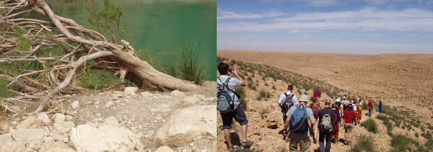
Research Important for Society
In addition to teaching and fundamental research, experts from the Geography Section are involved in addressing current practical problems. For example, physical geographers collaborate on the use of the natural landscape's potential to mitigate the course and consequences of extreme floods within an integrated flood protection system. Research by social geographers on international migration, residential segregation, and regional development helps guide decisions made by ministries of regional development, labor and social affairs, and the interior. Demographers contribute to the creation of population forecasts and their impact on pension reforms, analyze demographic aging, family issues, seniors, and intergenerational solidarity. Geoinformatics is applied in the development of navigation systems, updating map resources, evaluating satellite images for disaster management, and long-term monitoring of climate change.