


Detailed information about the topic
Supervisor
Assoc. Prof. Lucie Kupková (lucie.kupkova@natur.cuni.cz)
Thesis language
English
Keywords
hyperspectral imaging, thermal imaging, artificial intelligence, vegetation stress, environmental indicators, ecosystem monitoring
Preliminary scope of work
The topic arises from the need for more accurate and efficient assessment of ecosystem conditions in the context of rapid environmental change. The development of unmanned aerial systems, hyperspectral and thermal sensors, and artificial intelligence methods offers new possibilities for monitoring vegetation and ecosystem processes in real time and at high spatial resolution.
The dissertation will combine objectives focused on integrating advanced spectral and thermal data with artificial intelligence approaches for assessing vegetation status across spatial scales and ecosystem types. Within this broader framework, the candidate may choose to specialize according to her/his research interests — for example, by focusing on (i) UAV-based thermal imaging for monitoring water and heat stress in vegetation, (ii) development of spectral indicators for detecting nutrient deficiencies in agricultural crops, (iii) assessment of forest ecosystem functioning through the integration of ground, UAV, and satellite observations, or (iv) design of environmental indicators for nature conservation.
The expected outcome of the dissertation is a set of methods and indicators applicable for the early diagnosis of vegetation condition and for efficient monitoring and management of ecosystems at multiple spatial and temporal scales.
Binding information about the topic
Additional information
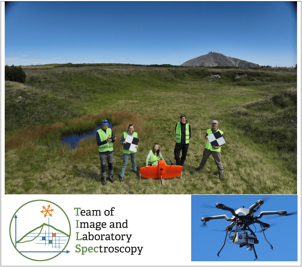
The work will be carried out within the Tilspec research team (www.tilspec.cz), involving participation in ongoing scientific projects, fieldwork in beautiful mountain landscapes, the use of advanced and unique instruments (such as the HySpex Mjolnir VS-620 hyperspectral camera, thermal sensing equipment including ground thermal references, the WingtraOne UAV, a team meteorological station, and high-performance computers for deep learning), and collaboration with enthusiastic colleagues and students.
We are seeking a highly motivated PhD candidate with a strong interest in remote sensing, quantitative
ecology and geoinformatics.
|
Key details
|
 |
Conditions for obtaining the agreement of supervisor
If you are interested, please contact Assoc. Prof. Lucie Kupková (lucie.kupkova@natur.cuni.cz) as soon as
possible. Her approval is required in order to apply (a signed statement of supervisor consent is needed for
the position application).
Further important information about the admission procedure can be found here.